Yükleniyor...
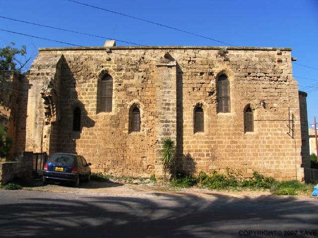
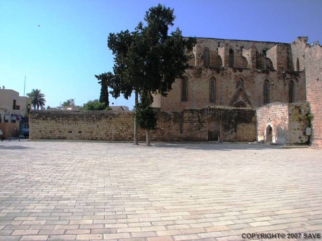
Kilise - Lüzinyan
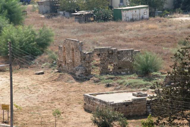
Yeraltı Kilisesi - Bilinmiyor
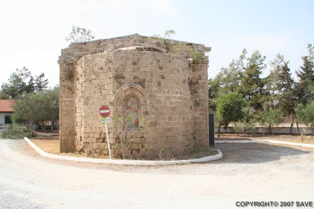
Cami - Bizans
Kapı - Venedik
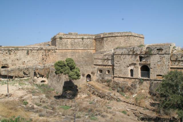
Palace - Venedik
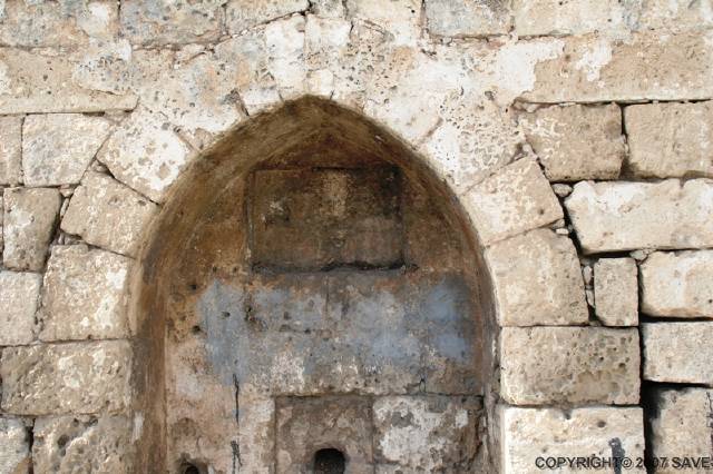
Çeşme - Osmanlı